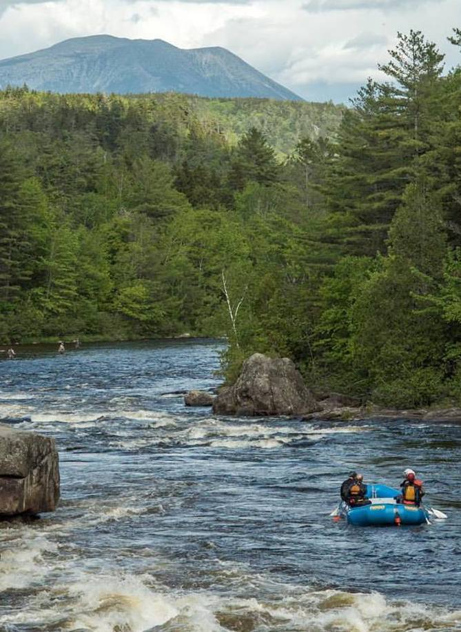
LOWER RIVER RAPIDS
The Lower West Branch Penobscot
We put in at class IV Nesowadenahunk Falls and raft a little over six miles to a river access called Nevers Corner. We’ll explore river-wide waterfalls, surf, play on natural waterslides, and stop for a riverside picnic along the way-we might even see an eagle or two! Because there are multiple routes through all the rapids, our trips on the lower river have something for everyone from very mild to wild!
River Features:
- Class III Fisherman’s drop a Nesowadenahunk falls
- Class IV Raft-Line Drop at Nesowadenahunk Falls
- Class I Nesowadenahunk Rips
- Class II Nesowadenahunk Stream ledge slide
- The Abol Flatwater and Abol Ledges Picnic Area
- Class II Little Abol Falls
- Class III Big Abol Falls
- Class II Little Pockwocamus Falls
- Class III + Big Pocwockamus Falls
UPPER RIVER RAPIDS
The Upper West Branch Penobscot
The upper river contains 10 major rapids and covers just over six miles. This section of the river is sure to get the adrenaline flowing, blood pumping, and temperature rising! We begin at McKay Hydroelectric station and make our way over some of the most technical class II-class V whitewater on the east coast before taking off the water downstream of Big Ambejackmockamus Falls.
River Features:
- Class V Ripogenus Gorge
- Class IV Heaters
- Class III Little Eddy Rapid
- Class IV Troublemaker Rapid
- Class IV Bailing Eddy Rapid
- Class V Cribworks Rapid-Considered the fourth most technical rapid in the USA
- Class IV The Arches
- Class III Big Eddy Rapid
- Class II Little Ambejackmockamus Falls
- Class IV Big Ambejackmockamus Falls

Rapids occur when fast-moving water meets slow-moving water
Rapid Classes are based on 3 main characteristics:
- Gradient- The steepness of the rapid
- Obstruction- What is on the riverbed slowing water down
- Constriction-The width of the river
The Classes:
- Class I- Swift moving current with a riffling surface and minimal obstructions require minimal navigation
- Class II- Rapids with small waves, channels that are obvious without scouting. May require paddling and light navigation.
- Class III (+/-) - 2 to 4-foot waves, small holes, exposed rocks, requires some paddling maneuvers to navigate.
- Class IV (+/-) -Longer rapids with 5- to 10-foot tall waves, large holes, specific routes, and requires moderate paddling for navigating safely.
- Class V (V-V.V)- Highly technical with major waves and recirculating holes, and narrow slots that require significant paddling for navigating safely.
The rapids of The West Branch of the Penobscot range from Class I to Class V
